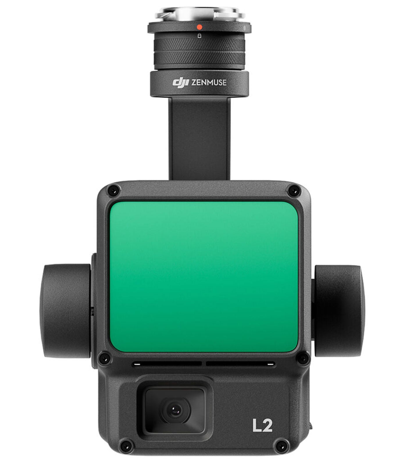
DJI Zenmuse L2 LiDAR + RGB Camera Payload Enterprise Care Basic
DJI Zenmuse L2 LiDAR + RGB Camera Payload Enterprise Care Basic
Description
Features
 The DJI Zenmuse L2 LiDAR + RGB Camera Payload Enterprise Care Basic represents a revolutionary step in aerial mapping, surveying, and inspection technology, combining advanced LiDAR precision with an integrated high-resolution RGB camera in a single, compact system. Designed for enterprise-level applications, it offers unmatched performance, accuracy, and efficiency for professionals working in surveying, construction, forestry, and infrastructure inspection. This LiDAR payload, developed by DJI, integrates a powerful sensor system that can be paired with the DJI Matrice 300 RTK and Matrice 350 RTK drones, delivering real-time 3D mapping and imaging capabilities that redefine aerial data collection standards. The DJI Zenmuse L2 builds upon the legacy of its predecessor, the Zenmuse L1, with significant improvements in accuracy, range, and reliability, while maintaining a lightweight design that ensures optimal flight efficiency. The inclusion of DJI’s Enterprise Care Basic plan also guarantees users professional after-sales service and technical support, ensuring minimal downtime and maximum operational confidence.
Unparalleled LiDAR Performance and Range
The Zenmuse L2 LiDAR system is engineered with a groundbreaking laser rangefinder that delivers superior accuracy and detection range. It boasts a horizontal field of view (FOV) of 70° and a vertical FOV of 75° for non-repetitive scanning, enabling wide coverage in a single flight path, while the repetitive scanning mode narrows the vertical FOV to 3°, allowing for dense data acquisition in targeted areas. With a ranging accuracy of 0.8 inches (RMS 1σ) at a distance of 492 feet, this payload provides highly detailed and precise topographical mapping, crucial for applications where millimeter-level accuracy is required. The system can detect objects up to 1,476.4 feet away with 50% reflectivity under ideal lighting conditions and up to 820.2 feet at 10% reflectivity even under 100 klx brightness, ensuring reliable performance across diverse environments. The 905 nm laser wavelength ensures safe and efficient operation, while the low beam divergence of 0.2 mrad horizontally and 0.6 mrad vertically minimizes point spread and enhances fine detail capture.
Advanced Point Cloud Data Collection
One of the most remarkable capabilities of the DJI Zenmuse L2 is its exceptional point cloud generation capacity. In single return mode, the payload can capture up to 240,000 points per second, and in multiple return mode, this number increases dramatically to a maximum of 1,200,000 points per second. This allows for rich and detailed data sets that can be used to generate highly accurate 3D models of complex terrains and structures. Whether capturing dense forests, urban landscapes, or intricate infrastructure, the Zenmuse L2 ensures every detail is recorded with precision. The LiDAR supports a maximum of five returns per pulse, improving data quality when mapping areas with varying surface materials and foliage. The point cloud output is processed in real time when connected to the DJI Matrice drone system, offering immediate visualization through DJI Pilot 2 software. This real-time feedback allows operators to make instant adjustments to flight paths, ensuring optimal coverage and efficiency during missions.
Integrated RGB Camera for Enhanced Visual Mapping
Beyond its LiDAR capabilities, the DJI Zenmuse L2 integrates a high-quality RGB camera that enhances data contextualization through vivid imagery. This camera allows simultaneous capture of visual and spatial data, producing colorized point clouds that combine geometry with photorealistic textures. The RGB camera ensures that users not only receive accurate spatial data but also detailed color mapping, aiding in post-processing analysis and visualization. This feature is particularly beneficial for industries like construction monitoring, environmental studies, and public safety assessments, where visual clarity complements geometric precision. The seamless integration between LiDAR and the RGB camera ensures that both datasets are perfectly aligned, reducing the need for extensive calibration or manual synchronization during data processing. The result is a unified output that delivers accurate, high-resolution visuals alongside precise spatial measurements, allowing for superior analysis and presentation.
Power Efficiency and Intelligent Design
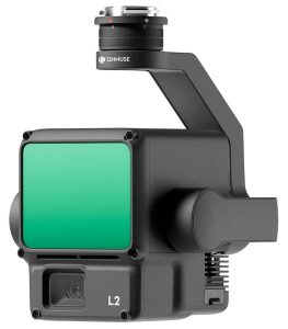 Despite its advanced performance, the DJI Zenmuse L2 is designed with power efficiency in mind. With a typical power draw of 28 W and a maximum consumption of 58 W, it allows for extended flight times when mounted on compatible drones, optimizing operational productivity. The intelligent design ensures minimal heat generation, preserving internal component life and ensuring stability during long missions. The proprietary power interface guarantees consistent energy delivery even during intensive scanning sessions, maintaining system reliability. DJI’s focus on intelligent engineering extends to the L2’s internal calibration processes, which automatically adjust sensor alignment for consistent performance without requiring frequent manual recalibration. This intelligent automation reduces downtime and enhances the overall ease of use, making the L2 ideal for both seasoned professionals and newcomers to aerial LiDAR technology.
Cutting-Edge IMU and System Accuracy
The Zenmuse L2 features an advanced Inertial Measurement Unit (IMU) that significantly enhances system stability and accuracy. With an IMU update frequency of 200 Hz, the sensor continuously compensates for drone motion and vibration during flight, ensuring that every point captured remains accurately aligned within the global coordinate system. The IMU’s accelerometer has a ±6 g range, providing excellent responsiveness during fast maneuvers and rapid altitude changes. This precision contributes to the overall positional accuracy of 2 inches horizontally and 1.6 inches vertically at 492 feet, enabling survey-grade results without requiring extensive ground control points. The integration of DJI’s real-time kinematic (RTK) technology through compatible drones like the Matrice 300 RTK or 350 RTK further enhances positional accuracy by correcting GPS errors in real time. This makes the Zenmuse L2 ideal for applications demanding centimeter-level precision, including detailed infrastructure modeling, slope analysis, and terrain contour mapping.
Enterprise-Level Reliability and Build Quality
Designed with industrial and professional users in mind, the DJI Zenmuse L2 LiDAR + RGB Camera Payload is engineered to withstand demanding field conditions. Its robust build ensures reliable operation across a wide range of environments, with a storage temperature tolerance from -4°F to 140°F (-20°C to 60°C), allowing safe transportation and storage even in extreme climates. Although not explicitly rated for environmental resistance, its construction follows DJI’s high durability standards, minimizing dust and moisture ingress. The payload’s lightweight yet sturdy frame ensures that it does not compromise drone flight endurance, while its efficient power consumption — 28 W during typical operation and a maximum of 58 W — ensures longer flight times without overheating. The proprietary interface connection provides stable power and data transfer between the drone and payload, maintaining seamless communication during high-data-rate operations.
Integration with DJI Ecosystem and Compatibility
The Zenmuse L2 is purpose-built for seamless integration with DJI’s enterprise ecosystem, specifically optimized for the DJI Matrice 300 RTK and Matrice 350 RTK drones when used with the DJI RC Plus remote controller. This compatibility ensures effortless plug-and-play operation, allowing users to start scanning missions within minutes of setup. The payload is fully supported by DJI Pilot 2 software, which enables intuitive mission planning, real-time LiDAR point cloud visualization, and automated data management. The DJI Terra software suite further complements this integration by offering advanced post-processing tools for generating accurate digital surface models (DSM), digital terrain models (DTM), and contour maps. These applications make the Zenmuse L2 an indispensable tool for surveyors, engineers, and GIS specialists who require precise data for decision-making. The system’s user-friendly interface and automation features also make it accessible to professionals transitioning from traditional ground-based scanning solutions to aerial LiDAR technology.
Applications Across Multiple Industries
The versatility of the DJI Zenmuse L2 makes it suitable for a broad range of professional applications. In surveying and mapping, it delivers centimeter-level accuracy over vast areas, dramatically reducing the time required compared to manual ground surveys. In construction and infrastructure inspection, the Zenmuse L2 can quickly generate detailed 3D models of buildings, bridges, and roads, allowing engineers to detect structural issues and monitor progress with unmatched clarity. Forestry and environmental management professionals use it to measure vegetation density, calculate biomass, and assess terrain changes caused by erosion or deforestation. In public safety and emergency response, the L2 assists in creating rapid 3D reconstructions of disaster zones, helping responders plan operations more effectively. Mining and utilities industries benefit from its ability to capture detailed topographical data for resource planning and infrastructure monitoring. The combination of LiDAR and RGB imaging enables precise, data-rich outputs that drive informed decision-making across diverse sectors.
Enterprise Care Basic and Support Assurance
 The inclusion of DJI’s Enterprise Care Basic plan with the Zenmuse L2 payload provides users with added confidence and operational security. This service offers comprehensive coverage against accidental damage, ensuring rapid replacement and repair support to minimize downtime. DJI’s Enterprise Care program underscores the brand’s commitment to customer satisfaction, providing global support, professional assistance, and priority service channels. Users benefit from access to DJI’s enterprise-level knowledge base and software updates, ensuring that their equipment remains at peak performance through its lifecycle. This combination of cutting-edge hardware and robust after-sales support makes the Zenmuse L2 one of the most reliable and cost-effective solutions in the enterprise LiDAR market.
The DJI Zenmuse L2 LiDAR + RGB Camera Payload Enterprise Care Basic stands as a pinnacle of precision, reliability, and efficiency in modern aerial mapping and 3D imaging. Its fusion of cutting-edge LiDAR technology, high-resolution RGB imaging, and seamless DJI ecosystem integration makes it an indispensable tool for professionals demanding accuracy and speed. From its remarkable detection range and point cloud density to its exceptional accuracy and power efficiency, every aspect of the Zenmuse L2 is designed to elevate the standards of aerial data acquisition. Whether employed in surveying, construction, forestry, public safety, or environmental monitoring, it delivers unparalleled insights that empower industries to make smarter, data-driven decisions. Combined with DJI’s Enterprise Care Basic, the Zenmuse L2 ensures lasting performance, minimal operational disruption, and a strong return on investment, solidifying its place as one of the most advanced LiDAR payloads ever developed for enterprise drone applications.