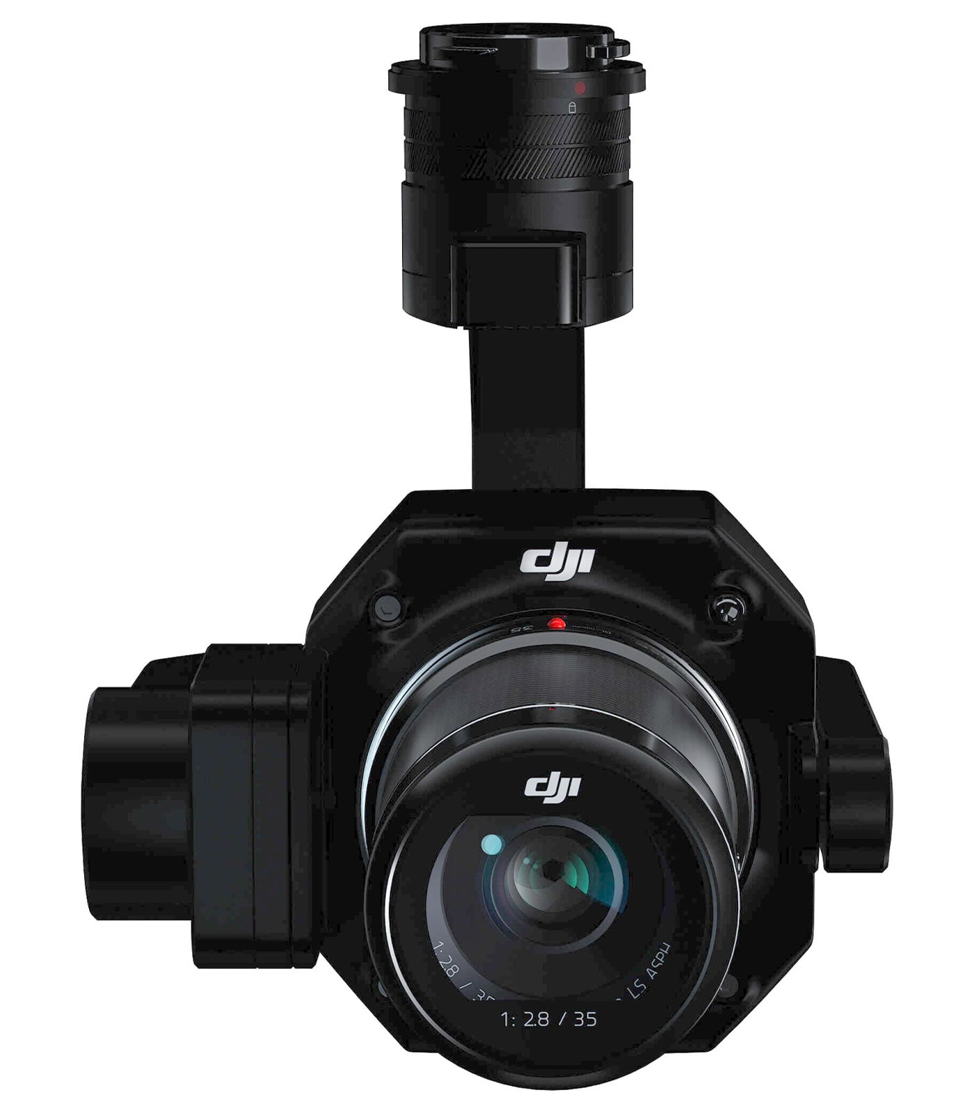
DJI Zenmuse P1 Gimbal for Matrice 300 RTK Full-Frame Aerial Mapping Camera
DJI Zenmuse P1 Gimbal for Matrice 300 RTK Full-Frame Aerial Mapping Camera
Description
Features
 The DJI Zenmuse P1 Gimbal is a revolutionary full-frame aerial mapping camera engineered to transform the world of aerial surveying and photogrammetry. Designed specifically for the DJI Matrice 300 RTK drone, the Zenmuse P1 represents the perfect fusion of speed, accuracy, and performance for professionals in mapping, surveying, construction, and environmental monitoring. As the first full-frame sensor payload developed by DJI for enterprise-grade mapping, it pushes the limits of aerial imaging technology. The gimbal is designed to integrate seamlessly with DJI’s Matrice ecosystem, offering high-resolution imaging, exceptional flight efficiency, and real-time data accuracy. Built to operate in demanding environments and extreme conditions, the Zenmuse P1 sets a new benchmark for aerial data collection, delivering professional-grade results that were previously only possible with far more complex setups.
Exceptional Imaging Power with Full-Frame Sensor
At the heart of the Zenmuse P1 lies a 45-megapixel full-frame sensor that delivers unprecedented image clarity and precision. The large sensor size allows for more light intake, ensuring rich details and minimal noise even in low-light or complex lighting conditions. This makes it ideal for professional-grade mapping where accuracy and detail are paramount. The full-frame sensor also provides a wider field of view, enabling operators to cover larger areas in a single flight. When paired with the high-quality DJI lenses designed for aerial imaging, the P1 produces orthomosaic maps, 3D models, and detailed reconstructions with exceptional sharpness. This imaging precision helps surveyors reduce the need for multiple flights, cut operational costs, and deliver superior output quality across industries such as agriculture, mining, and urban planning.
Seamless Integration with the Matrice 300 RTK
The Zenmuse P1 has been engineered to integrate effortlessly with DJI’s flagship commercial drone, the Matrice 300 RTK. The SkyPort interface allows quick and secure attachment, ensuring optimal communication between the payload and the aircraft. Once connected, the gimbal benefits from the Matrice 300’s advanced flight capabilities, such as RTK positioning, AI-powered obstacle avoidance, and long endurance. The M300 RTK provides centimeter-level accuracy through real-time kinematic corrections, which combine with the Zenmuse P1’s image data to create perfectly georeferenced maps. Operators can use DJI Pilot to control the payload, plan missions, and monitor image acquisition in real time. The integration between the P1 and M300 RTK eliminates workflow complexity, enabling professionals to capture precise data effortlessly, even in challenging environments such as forests, construction zones, and disaster sites.
Intelligent Data Capture and Real-Time Processing
What sets the Zenmuse P1 apart from conventional mapping cameras is its intelligence-driven data capture system. The Smart Oblique Capture feature allows the gimbal to automatically rotate and capture images at various angles, reducing flight time while maximizing coverage. This enables the generation of detailed 3D models with fewer passes, improving operational efficiency. Additionally, the TimeSync 2.0 system synchronizes the camera, gimbal, flight controller, and RTK module down to the microsecond, ensuring that every pixel is accurately geotagged. This synchronization drastically enhances post-processing precision, especially when creating orthophotos or performing topographic analysis. DJI’s Terra software can process P1 data rapidly, producing accurate models and maps with minimal manual intervention. Together, these intelligent features make the Zenmuse P1 one of the most efficient aerial mapping solutions available today.
Built for Durability and Field Reliability
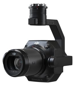 The Zenmuse P1 is built to perform under harsh environmental conditions, ensuring reliability during demanding aerial missions. With an operating temperature range of -4°F to 122°F (-20°C to 50°C), it remains dependable in both freezing cold and scorching heat. The rugged construction ensures it can withstand dust, wind, and moisture exposure commonly encountered during field operations. The lightweight 1.8 lb (approximately 800g) build minimizes flight load, enhancing flight time and stability. The gimbal’s robust design ensures consistent performance and precision even during turbulence or high-speed flights. DJI’s attention to detail in both hardware and software makes the Zenmuse P1 a trusted companion for professionals who operate in unpredictable outdoor conditions and need consistent results across varied terrains.
Power Efficiency and Advanced Gimbal Control
With a power consumption of only 20W, the DJI Zenmuse P1 offers impressive energy efficiency that maximizes drone flight time. It draws power directly through its proprietary SkyPort interface, ensuring consistent performance without the need for external batteries or connectors. The 3-axis gimbal stabilization provides smooth, vibration-free image capture, ensuring clarity in every shot regardless of flight dynamics. The gimbal also enables precise angle control, allowing users to capture vertical, oblique, or nadir images with unmatched precision. This flexibility is essential for photogrammetric surveys and 3D modeling, where image alignment and perspective accuracy are key. The responsive stabilization system ensures minimal distortion and perfectly aligned image sets, helping operators maintain the quality and integrity of their mapping data.
Simplified Workflow and Data Management
DJI designed the Zenmuse P1 not only for performance but also for workflow optimization. The gimbal works seamlessly with DJI’s ecosystem of software tools, including DJI Pilot for mission planning and DJI Terra for post-processing. Operators can easily set up flight paths, altitude levels, and capture parameters, while the camera automatically executes image acquisition based on those inputs. Once the data is collected, DJI Terra or other GIS applications can process the images into orthomosaics, 3D point clouds, or digital elevation models. The precise metadata stored in each image file, including RTK coordinates and camera parameters, simplifies the post-production phase and ensures compatibility with professional mapping software. This streamlined process significantly reduces data handling time and allows surveyors to focus more on analysis rather than setup and calibration.
Ideal Applications Across Multiple Industries
The DJI Zenmuse P1 Gimbal caters to a wide range of industries that require high-resolution aerial data and spatial accuracy. In surveying and construction, it enables fast and detailed site mapping, helping engineers monitor progress, calculate volumes, and ensure compliance with design specifications. In agriculture, it assists in crop health assessment, land management, and yield estimation through precise geospatial data. Environmental agencies use it to monitor forests, wetlands, and coastlines, while urban planners rely on it for infrastructure modeling and land-use studies. The P1’s accuracy and speed also make it invaluable for disaster management and emergency response, where real-time aerial mapping is crucial for situational awareness. Its versatility ensures that no matter the application—be it heritage documentation, mining exploration, or road mapping—the Zenmuse P1 delivers dependable performance and actionable insights.
Professional-Grade Accuracy and Calibration
One of the defining strengths of the Zenmuse P1 is its commitment to professional-grade accuracy. By combining a full-frame sensor with RTK georeferencing and TimeSync 2.0 technology, the P1 achieves centimeter-level accuracy without the need for ground control points. This capability drastically reduces operational costs and field time. The camera’s calibration is fine-tuned to ensure minimal distortion and uniform sharpness across the frame, which is essential for photogrammetry. Each image captured is accurately aligned with spatial coordinates, allowing GIS professionals to create highly reliable models and maps. The camera’s rolling shutter compensation further eliminates artifacts, ensuring that each dataset maintains scientific-grade integrity. Whether for precision surveying or aerial inspection, the Zenmuse P1 delivers data that professionals can trust for critical decision-making.
Redefining the Future of Aerial Mapping
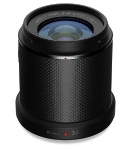 The DJI Zenmuse P1 Gimbal for the Matrice 300 RTK marks a pivotal advancement in the field of aerial mapping and surveying. By integrating a full-frame sensor, intelligent data capture features, and RTK precision, it delivers unmatched efficiency and accuracy in professional aerial imaging. Its rugged design, low power consumption, and intelligent automation make it the ideal tool for high-demand projects across diverse sectors. The seamless integration with DJI’s software ecosystem simplifies every stage of aerial surveying—from mission planning and data capture to processing and analysis. For professionals seeking a complete, reliable, and future-ready aerial mapping solution, the Zenmuse P1 stands out as an indispensable asset that combines power, precision, and innovation. It not only enhances productivity but also ensures that every mission, regardless of complexity or environment, results in the highest possible standard of spatial accuracy and visual detail.